Henbury Craters
Designation:
Australia-NT_S-Henbury
Location:
| Latitude | Longitude |
|---|---|
-24.571983° | 133.147900° |
-24.571983° | 133.147317° |
-24.572846° | 133.147044° |
Locality and ownership:
Northern Territory Wildlife Commission. Henbury Meteorite Conservation Reserve. Henbury Station NT Pastoral Lease 01094.
The area is a conservation reserve within Henbury Station and any geological research will need permission from the National Parks and Wildlife Service in the Northern Territory. Aboriginal Heritage issues may also need to be considered.
Access:
Travel 100km SW of Alice Springs on Sturt Highway 132. Turn off right at sign reading Meteorite Craters. 15km on dirt road to tourist picnic spot. Walk 2km to craters. The site could be visited on a temporary basis for crater studies. Due to reservation status, permission to do permanent earthworks or establish a base would not be likely to be forthcoming. The site is frequntly visited by tourists.
Local contacts:
Nearest services:
Alice Springs
Risks:
Mosquitos and large insects are abundant. Black ants were a great nuiscance at the rotunda campsite. The bottom of some of the craters are quite boggy.
The area is remote and probably not frequently visited. All work in the area must have adequate communications facilities and emergency procedures in place. Two vehicles in the party is advisable. Water is probably the main survival issue. Nearest medical facility is Alice Springs. Risk is medium.
Terrain:
meteor impact craters
General:
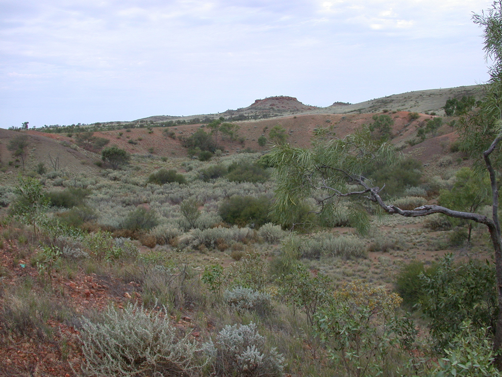
The Henbury craters consist of about 12 small craters ranging from 6 to 146 m in diameter. They are believed to be the result of a single event, the break up of a large iron meteorite at low altitude. The bedrock consists of weathered, gently dipping Neoproterozoic shales and thin sandstones covered by a veneer of pediment gravels. Formation of the crater rims during impact is well exposed. Craters 3 and 4 have attracted particular interest as they are the only terrestrial craters to show analogues to lunar rays in their ejecta patterns. The main unknown features of the geology are the timing of the impact (known only as occurring 100's to 1,000's of years ago). More accurate dating using thermoluminescence and cosmogenic isotopes is a distinct possibility. Detailed regolith mapping also has not been carried out.
Site descriptions:
- Inner crater floor (7). Shale fragments have been washed down the crater sides and deposited on the flat crater floor. The accummulation of moisture here allows for abundant vegetation. An adjacent crater (6) contains an inflowing creek which breaches the crater wall. This has developed an ephemeral swamp and lake depositing organic rich clays.
- Base of inner crater slope. Exposure of fractured shale whose orientation has been rotated by ~90 deg from its natural orientation. This is an example of several modes of deformation as recorded by Milton (1960?) resulting from the impact.
- Further up the crater slope the shale is seen to be fragmented and separated into incoherent layers. See figure of Vic pointing. One can trace the individual coloured layers into small fractured folds. The impact fracturing at this point is clearly greater than at the previous one.
- Crest of rim on west side of crater. The lithologies along the crest vary in distinct patches. In places entirely shale fragments in others sandstone fragments. These patches give the impression of radiating ejecta from specific source beds within the crater. The geology of the crater rim shows an overturn of the internal statigrophy. Rounded and subrounded stream gravels that form part of the surface deposits outside the crater may be seen inside the crater at the corresponding level.
- Crater 7 is 180m in diameter and 15m deep. The slope of the crater wall was measured at eight points and varied between 20 and 34 degrees.
Images:
Climate:
The average annual min 4 deg (July) and the average monthly max is 38 deg (Jan). Rainfall is about 200 mm a year, falling mainly in December-February. Nearest BOM Weather Station: Alice Springs
Flora and fauna:
The crater interior contained abudant mulga, whitewood, dead finish, Old Man saltbush, cassius, eremophilus, ptilodus and a variety of other arcacia species. Wild hops, a variety of other species of daisy, such as everlasting. Many tuft of various tough grasses. Buderigars, finches, silvertails and ravens are common. Cattle and dingos may be present.
History:
Discovered in 1922 by Prof. Arthur Aldeman of the University of Adelaide. The Henbury craters were among the first in Australia to be recognised as being of impact origin. In addition to well-defined craters there is a strewn field of iron meteorite fragments. The area was extensively studied in the 1960's by Daniel Milton of the United States Geological Survey as a training area for the Apollo program. They are Australia's most studied impact craters (as opposed to astrobleme). Crater 3 is the only known terrestrial rayed crater..
Analogue value:
Essentially the site is a prime example of the various features associated with meteorite impact. Crater is of recent origin (5-10,000 years) and so is less modified by weathering and erosion processes characteristic of other Earth impact sites. Studies of the erosion and infill of craters will have important analogue value and a more accurate dating of the impact event would have considerable general scientific interest. There are no other features of interest here. Provided access is possible, the area is rated good as an example of a particular unusual terrain type.
References:
- Bevan, A. W. R. 1996. Australian crater-forming meteorites. AGSO Journal of Geology and Geophysics 16(4): 421-430. Has information on Henbury and the possibly co-genetic Boxhole crater)
- Cook, P. J. 1968. Henbury 1:250,000 geological explanatory notes. Northern Territory Geological Survey series. Useful guide to regional geology.
- Milton, D. J. 1972. Structural geology of the Henbury meteorite craters Northern Territory, Australia. United States Geological Survey Professional Paper 599-C, pC1-C17. The definitive study.
- Milton, D. J. and Michel, F. C. 1965. Structure of a ray crater at Henbury, Northern Territory, Australia. United States Geological Survey professional Paper 525-C, pC5-C11. A detailed structural analysis with large scale maps of the distribution of ejecta rays round crater 3.
- Thompson. 1991. A guide to the geology and landforms of central Australia. Northern territory Geological Survey. A very useful popular introduction to the subject that covers the geological and geomorphological history of the region. It also has site descriptions of Henbury, Gosses Bluff, and many other points of geological interest.
- van Oosterzee, P. 2000. A Field Guide to Central Australia. Marleston, SA: J.B. Books.
Map reference:
Geology
Help the MSA!
This week @ NASA