2023 MSA PLANETARY ANALOGUES FIELD TRIP
2023 MSA PLANETARY ANALOGUES FIELD TRIP
Jonathan Clarke
Between July 24th and August 7th 10 people visited a diversity of Mars and planetary analogue sites in Victoria, South Australia, and the Northern Territory on a field trip organised and led by Mars Society Australia. The expedition covered 8200 km in total, over 14 days. The party consisted of four geologists, three artists, an IT expert, nurse, and an anthropologist. Seven were from Australia, two from the US, and one from India. Four were MSA members, including two directors.
Below are some photographic highlights.
All photos by the author and members of the expedition.
Day 3
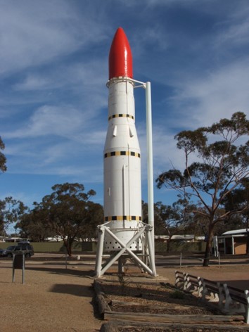
Figure 1. Woomera rocket and missile park. The Black Arrow rocket, the type that launched the UK’s first satellite, is shown.
Day 5
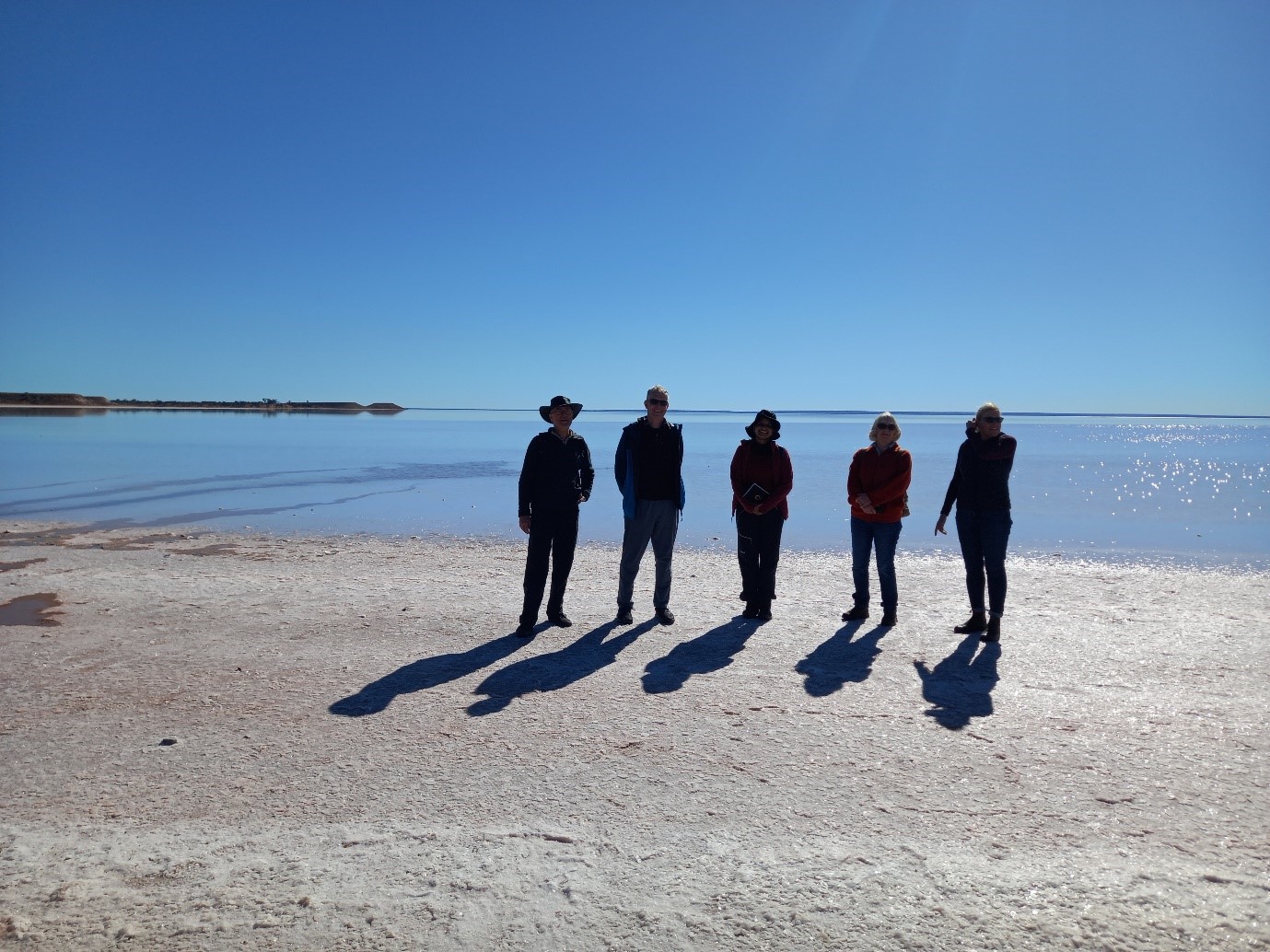
Figure 2. The shores of Lake Hart! Remains of the UK and ELDO rocket launch platforms are on the far side of this lake.
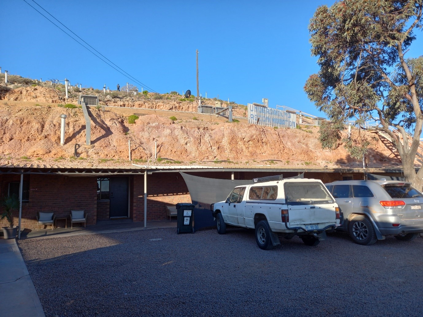
Figure 3. Underground motel Coober Pedy exterior. The multiple vents on the hillside above allow air circulation to the underground rooms.
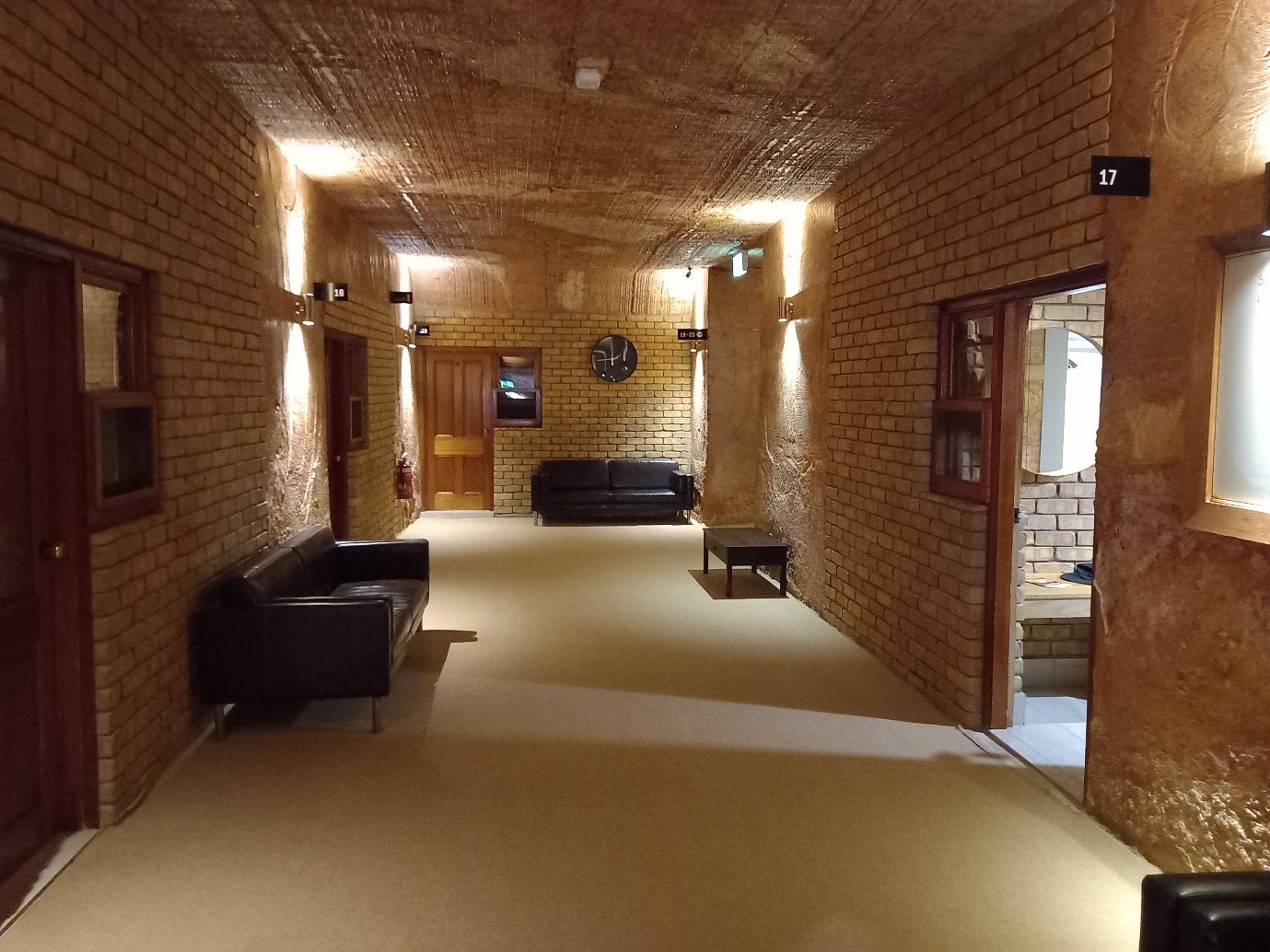
Figure 4. Underground motel corridor. Maybe underground living on Mars might be quite pleasant!
Day 6
The Breakaways are an eroded remnant of the Stuart Range north of Coober Pedy. They exhibit the deep and complex weathering profile developed on the Cretaceous sediments of the Eromanga (Great Artesian) Basin. The weathering by acid waters may mimic that found on Mars. Moon Plain is nearby, where the weathering has generated the world’s largest potentially economic epsomite deposit just beneath the land surface. This deposit could be useful to develop and test water extraction technologies on Mars, as epsomite (MgSO4·7H2O) is 51% water by mass and dehydrates at temperatures above 75oC.
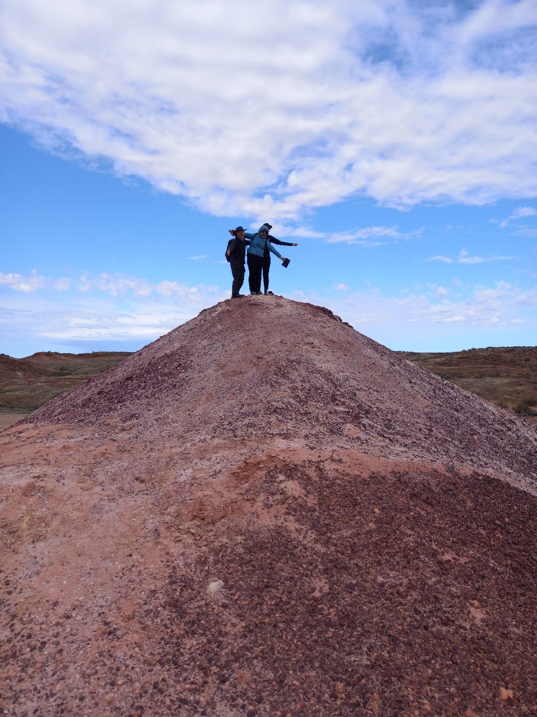
Figure 5. Expeditioners experiencing the pinnacle of their day.
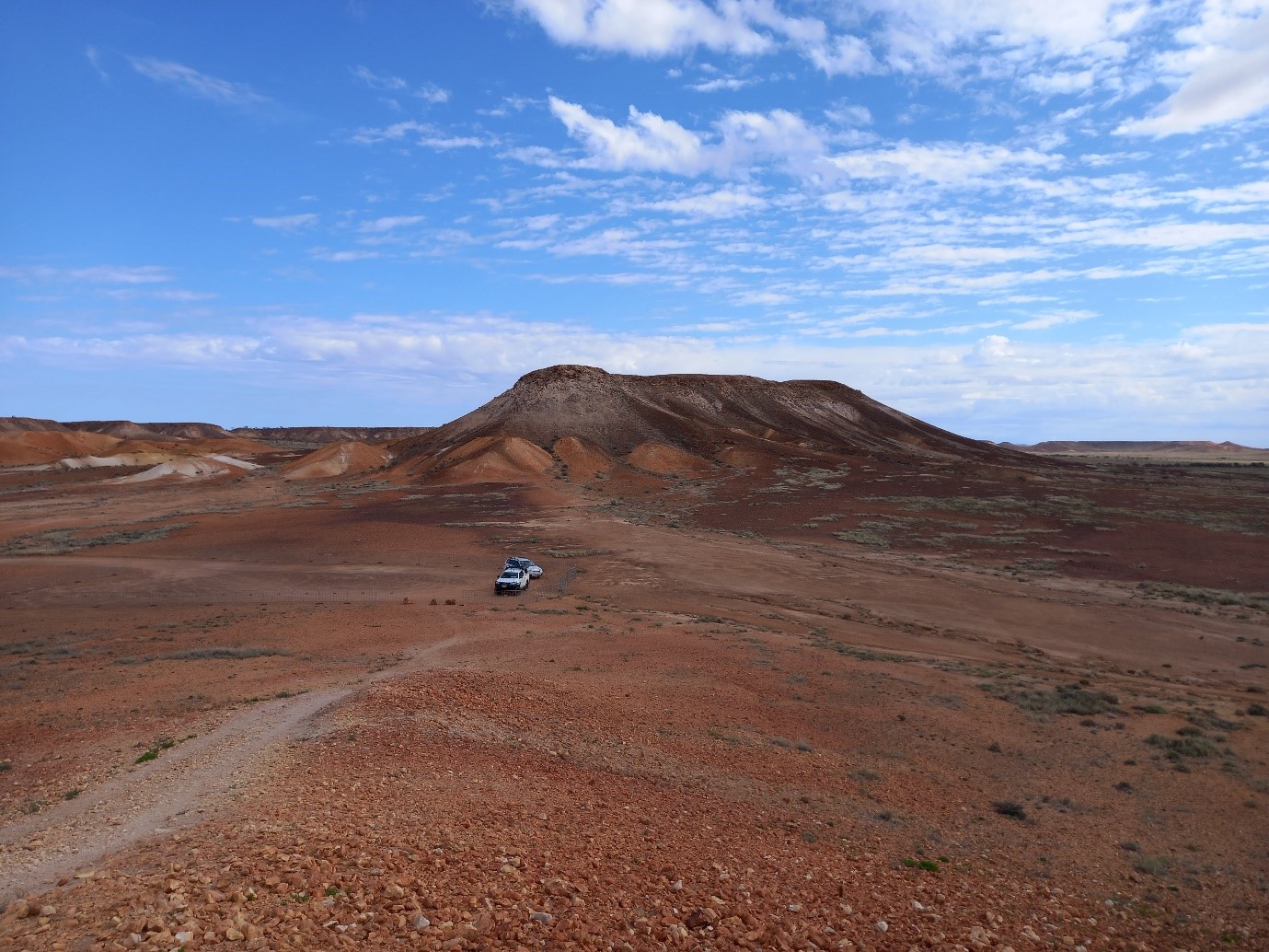
Figure 6. The Breakaways.
Figure 7. Moon Plain or Mars Plain?
Day 7
Henbury craters are a cluster of 12 small craters formed about 4200 years ago from the low altitude break-up of an iron meteorite. The craters were extensively studied to provide context to the Apollo program.
Figure 8. Henbury crater 7. This is the largest crater in the cluster and 12 180 across it’s long axis. It is thought to be formed by two or three overlapping and near-simultaneous impacts.
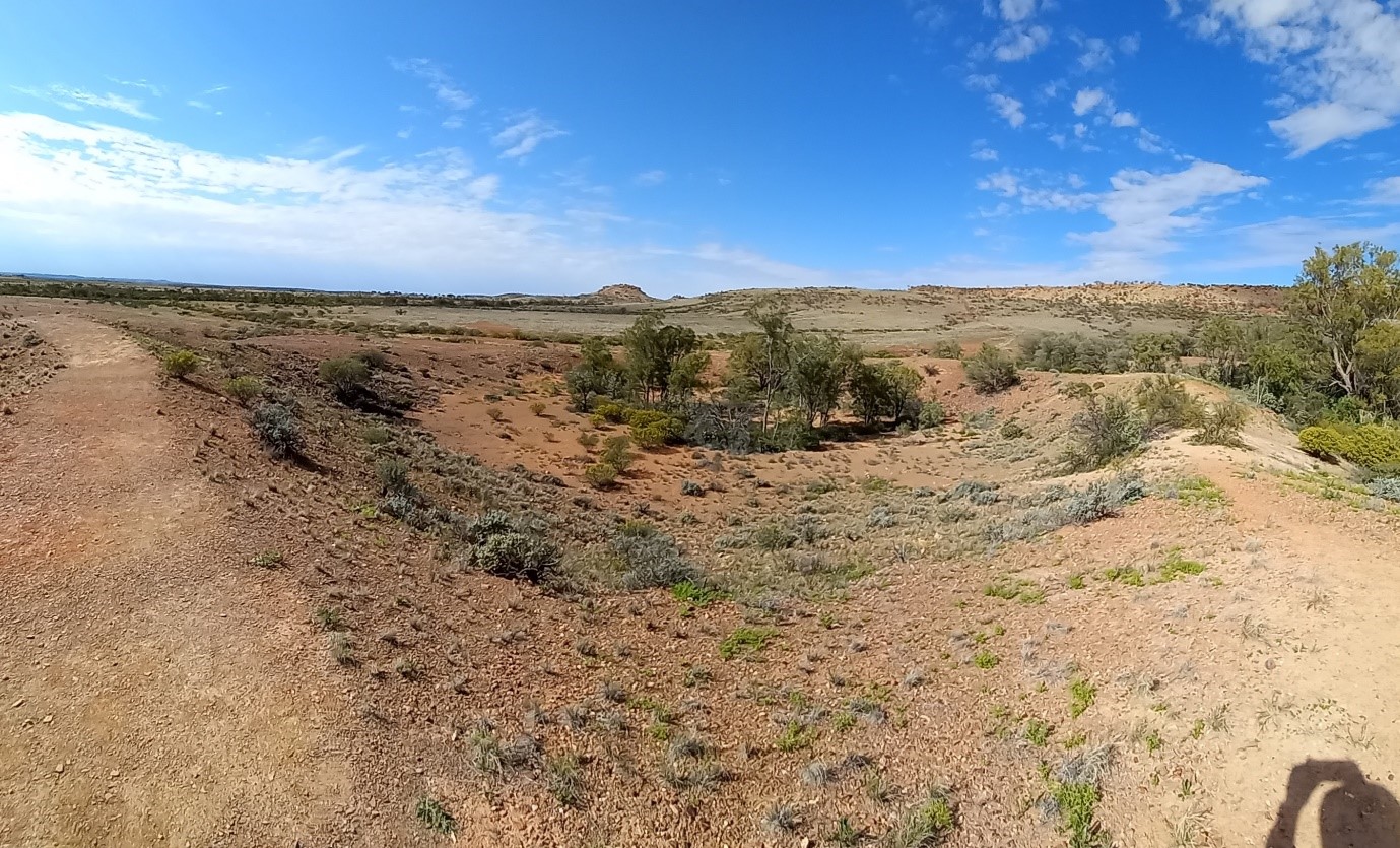
Figure 9. Henbury crater 8 is right next to crater 7 and is 70 m in diameter.
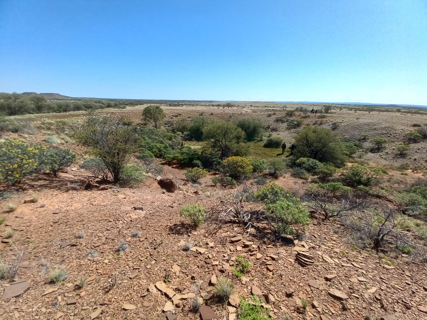
Figure 10. Henbury crater 4 is 60 m across, has a system of ejecta rays, and is some distance away from the inner cluster.
Day 8
Main visit of today was Gosses Bluff, an Early Jurassic (142 million years old) impact feature south of Hermannsburg. Originally at least 20 km across, it has been deeply eroded, and its surface expression is now the central ring uplift, 5 km in diameter. It is probably Australia’s best studied large impacts, and one of the best studied globally. Gosses Bluff was also extensively studied to support the Apollo program. It’s sobering to realise this entire structure formed in about a minute.
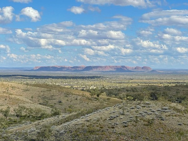
Figure 11. Gosses Bluff as seen from Tylers look out, some 30 km from the centre of the ring peak formed by the Bluff. The lookout is approximately where the rim of the crater would have been before being removed by erosion.
Figure 12. Gosses Bluff from outside.
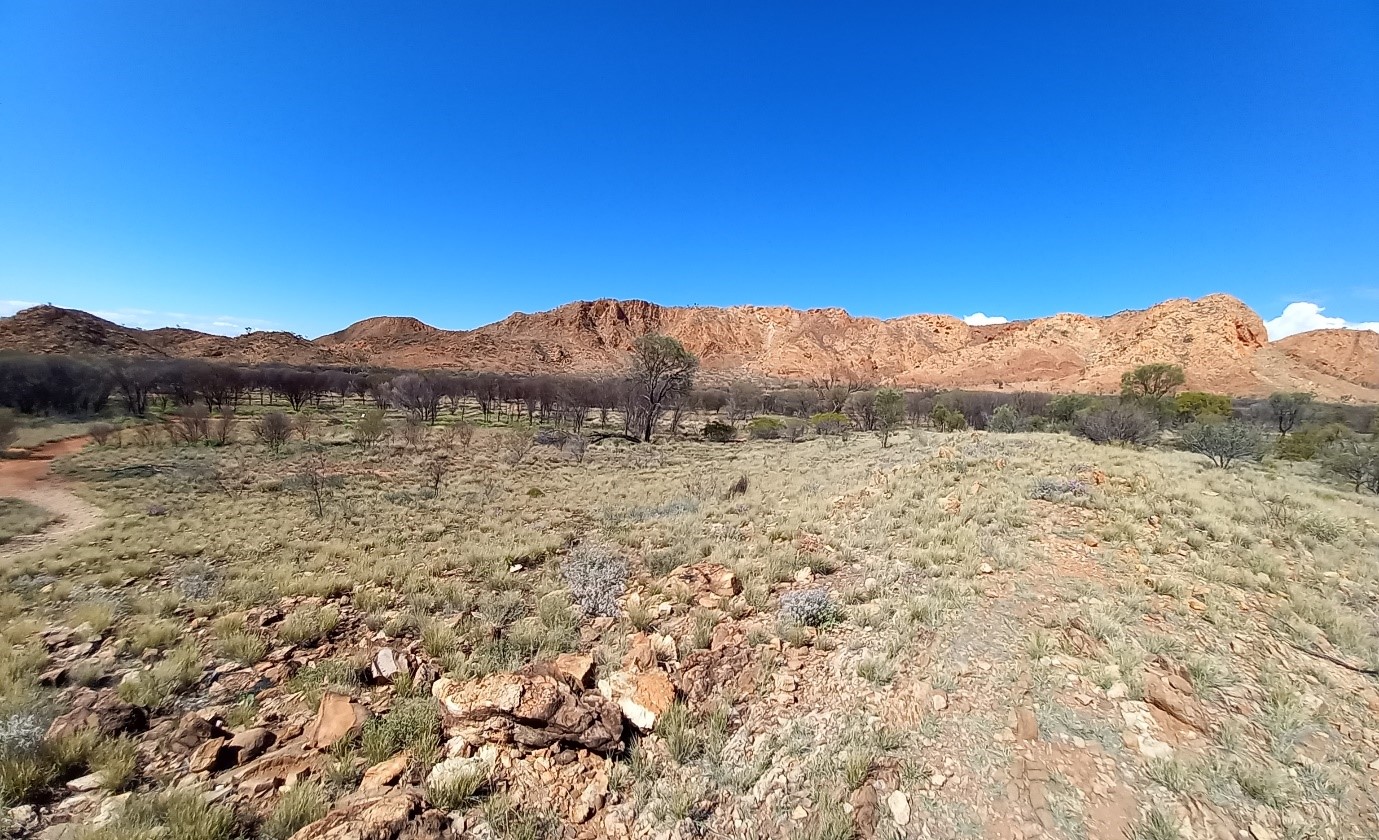
Figure 13. Gosses Bluff from inside.
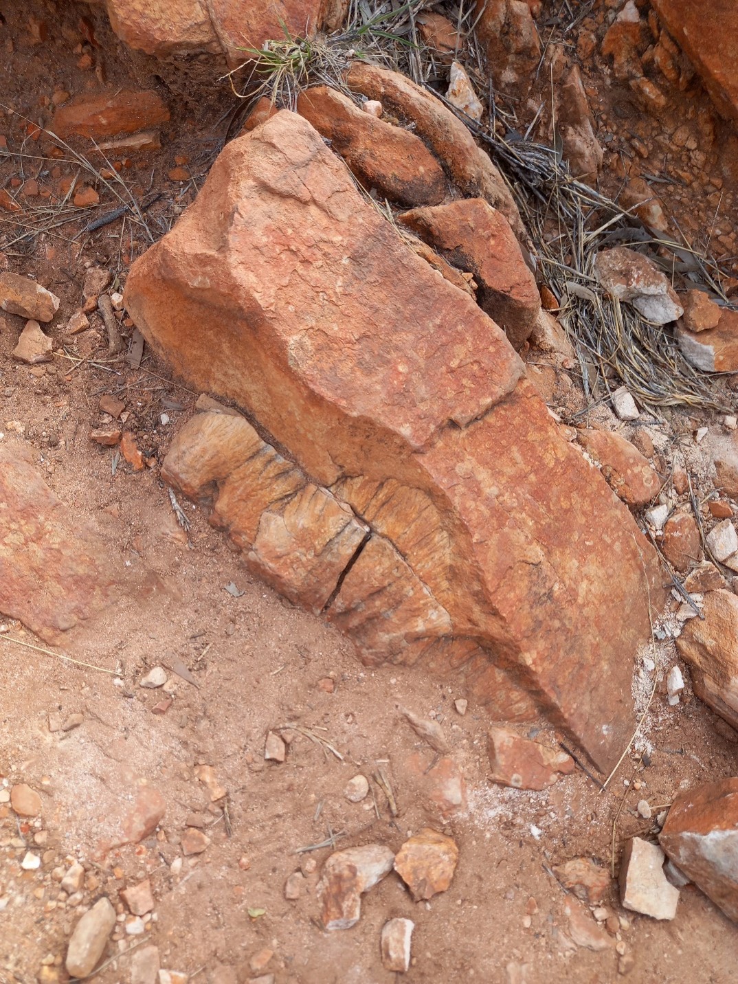
Figure 14. Shatter cones formed by the shock of the impact event, these features are diagnostic of all but the smallest impact structures.
Day 9
A long day’s drive to and from Boxhole crater, accessed via the Plenty Highway north of Alice Springs. The route took across north of the Tropic of Capricorn. Boxhole is a stand-alone crater 180 m cross, formed by the impact of an iron meteorite about 30,000 years ago.
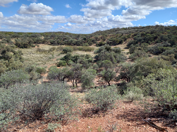
Figure 15. Boxhole crater from SW rim.
Day 11
Mars has numerous small, cone like features with a crater at the op at various locations across its surface. These have been variously interpreted as rootless volcanic cones, pingos, and mud volcanoes. Mound springs, formed when mineral-rich artesian waters breach the surface and form mounds of precipitates round a central spring, form similar shaped features on Earth and are another possibility. If so, then they date from much earlier epochs in the history of Mars and are potential targets of astrobiological interest. Numerous mound springs occur along the margins of the Great Artesian Basin, and the expedition examined extinct and active ones near Lake Eyre.
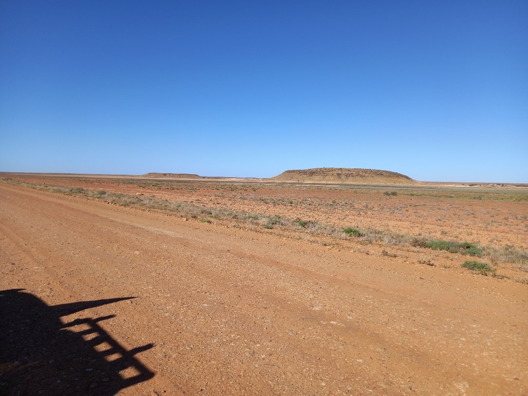
Figure 16. Extinct mound springs of the Hamilton Hill cluster.
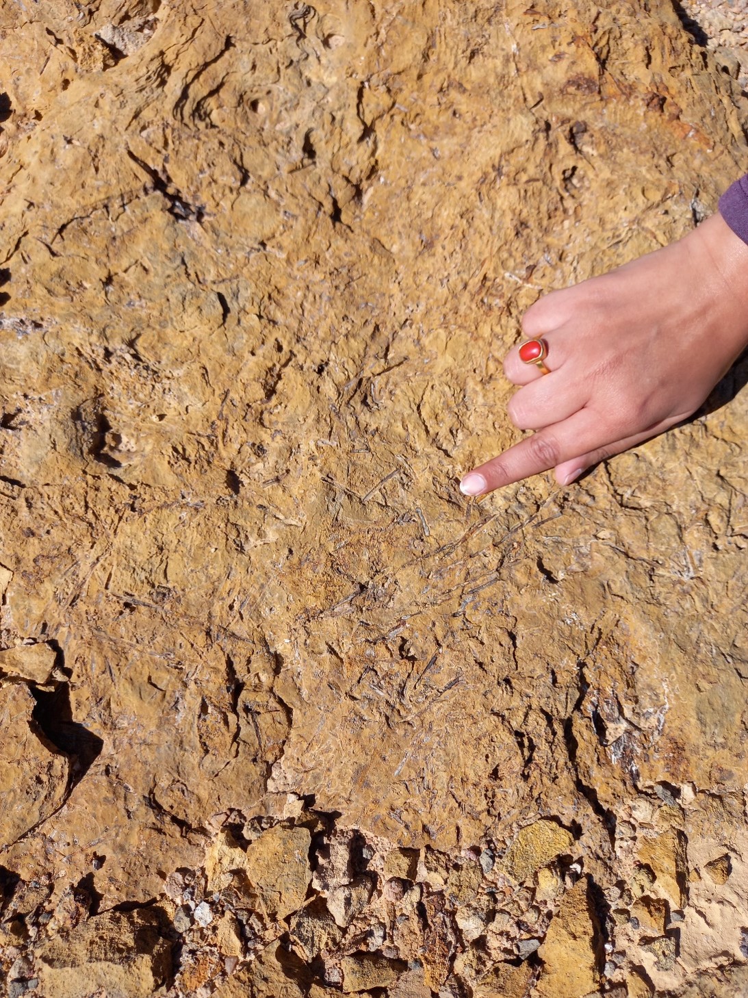
Figure 17. Impressions of aquatic plants in spring limestone at the Hamilton hill complex.
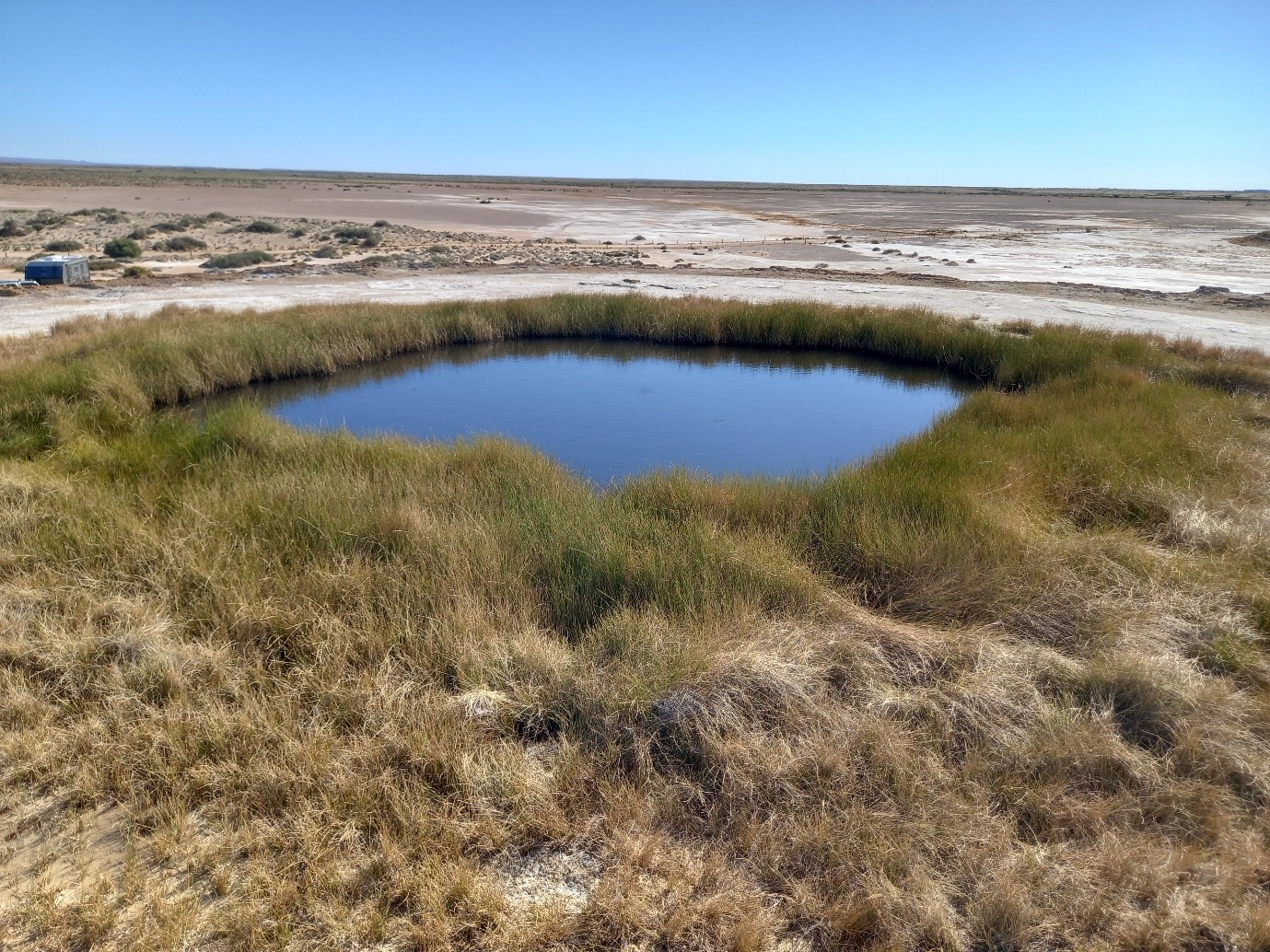
Figure 18. Blanche Cup Spring.
Day 12
This day saw a drive from Leigh Creek to Quorn through the Flinders Ranges and drove the Brachina Gorge Geological Trail.

Figure 19. Rippled limestone covering small stromatolites of the Trezona Formation (~654 My).
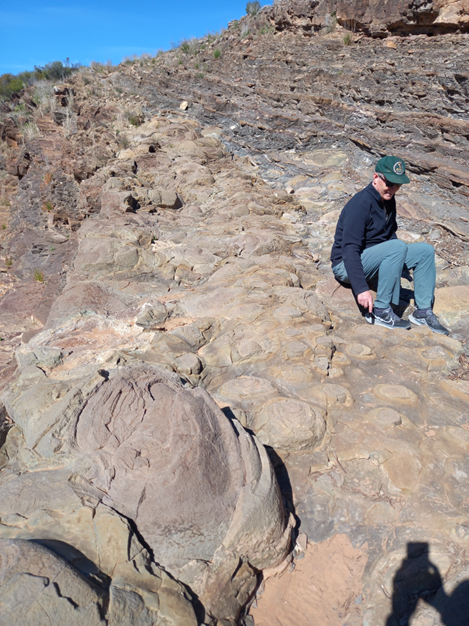
Figure 20. Stromatolites, mounds formed by sediment trapped or precipitated by fossil algae, are a prominent feature of the Trezona Formation.
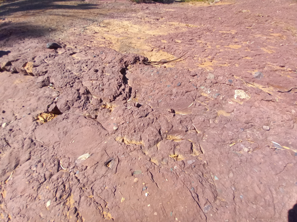
Figure 21. Elatina tillite deposited during Marinoan glaciation (635 My). Similar deposits occur globally at mid palaeo-latitudes, leading some to argue for a “snowball Earth”, although other explanations are possible.
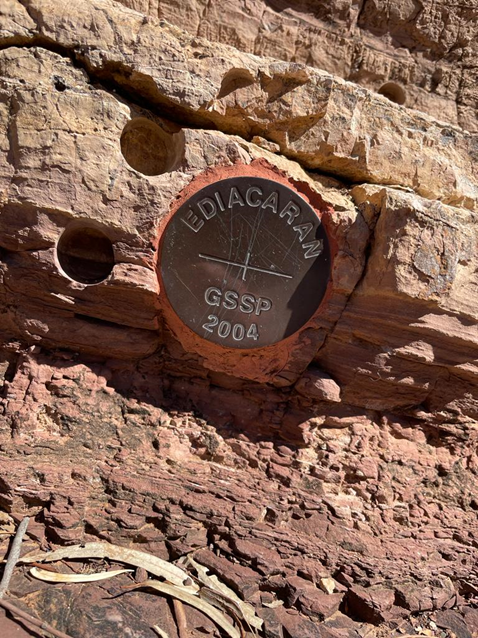
Figure 22. The “gold spike” marking the 635 My global base of the Ediacaran period and Phanerozoic Epoch lies on the trail. The circular holes are (unauthorised) sampling by palaeomagnetic researchers!
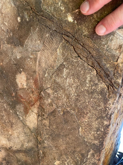
Figure 23. An Edicaran fossil (Dickinsonia) from the Rawnsely Quartzite marks the appearance of the first large animal remains in the fossil record.
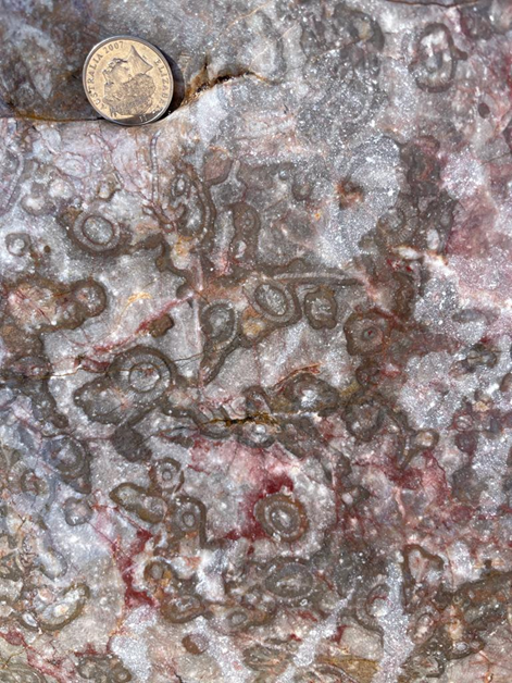
Figure 24. Shortly above the Ediacaran fossils we have the sponge-microbe reefs of the Wilkawillina Limestone, making the appearance of animals with skeletons in the fossil record.
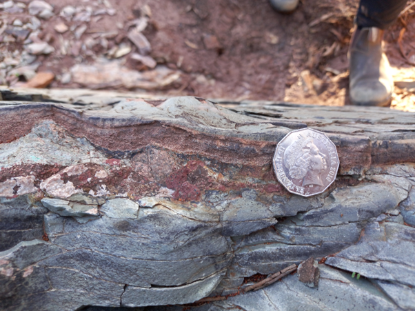
Figure 25. At Bunyeroo Gorge, south of Brachina Gorge, we have an exposure of the ejecta layer from the Acraman impact. This impact event, dated to 590 My, blasted a 90 knm crater, now largely eroded away, into the Gawler Ranges, and through debris across a radius of more than 300 km.
Day 13
On the last full day of the expedition we examined salt lakes in the Wimmera region of Victoria. Lake Tyrrell is a large Boinka (groundwater discharge feature) consisting of a central lake and down-wind deposits of quartz, clay, and gypsum sand ones. Similar features formed units such as the Burns Formation on Mars, sampled by the Opportunity rover mission. Summer blooms of halophytic microbes often give it a pink appearance. Pink lake is a similar, though smaller feature near Dimboola.
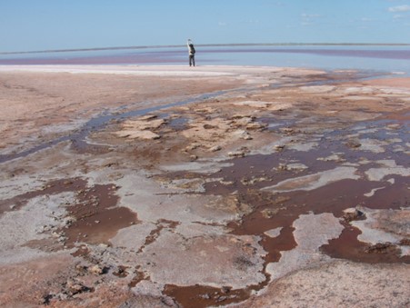
Figure 26. Acid groundwater seeps along the shores of Lake Tyrell precipitate iron oxides and emit radon (photo from previous visit).
Figure 27. Pink-coloured brines of Lake Tyrell (from previous visit).
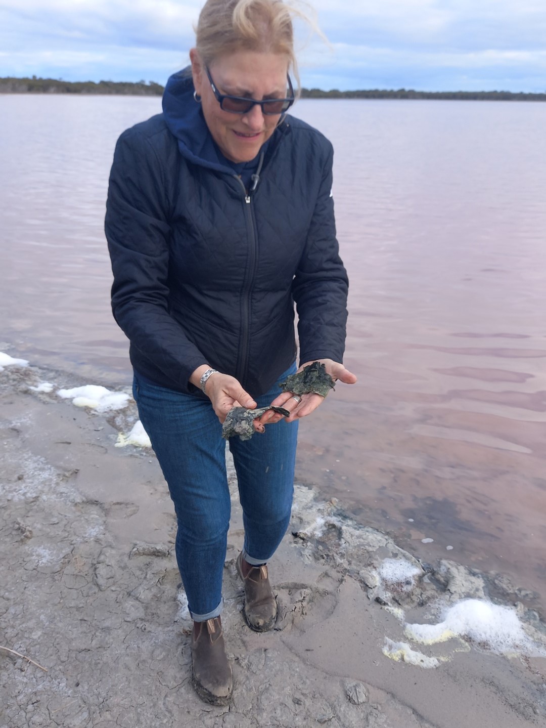
Figure 28. Thick microbial mats along the shores of Pink Lake.
Day 14
The final field day of the expedition was the Harman lava caves at Byaduk, near Hamilton, Victoria. The Harman 1 cave can be easily accessed. Such features have been proposed as potential shelters for stations on the Moon and Mars, and as astrobiological targets on Mars. Other volcanic features can also be found in the area.
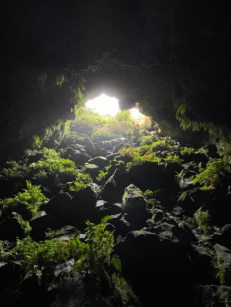
Figure 29. The interior of the Harman 1 cave entrance. The extremely rocky flood is common to many lava caves and, on the Moon or Mars, would render them unsuitable for use as shelters.
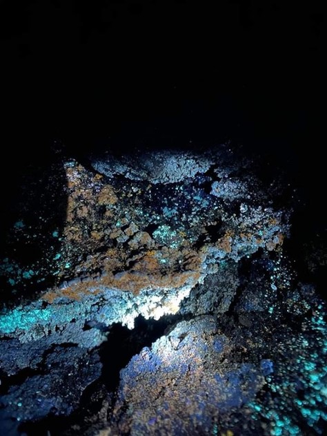
Figure 30. Fluorescent biofilms on the walls of the Harman 1 cave.
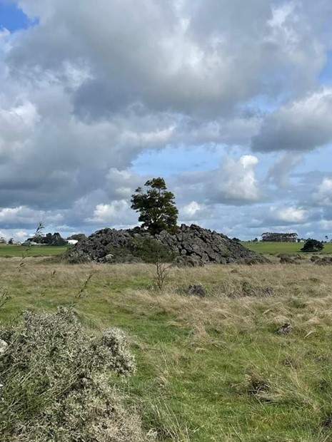
Figure 31. Lava tumulus – a blister-like feature formed when lava flows over wet ground at Byaduk.
Help the MSA!
This week @ NASA